Horizen — Excellence Through Quality← All capabilities

MOBILE GIS · OFFLINE CAPTURE · FIELD VERIFICATION

Reliable field evidence, even beyond network coverage.

Map-led mobile applications connect primary survey and field verification with a central information system. Capture location, photographs and structured observations where the infrastructure actually exists.

Explore the capability ↓
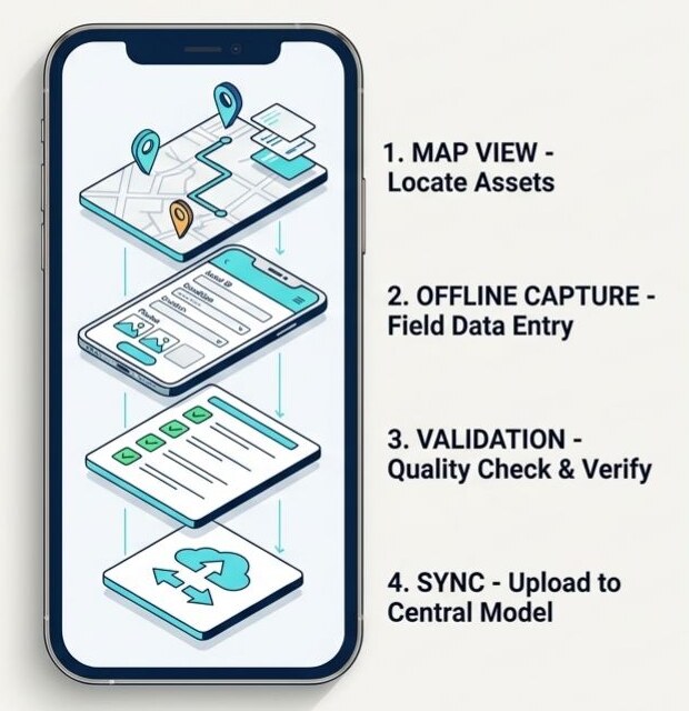
Blueprint showing mobile mapping, offline capture, validation and synchronisation
Horizen blueprint · Generalised capability illustration

Mobile field intelligence

What the capability covers

Horizen’s mobile work covers pipeline-network collection, household tap-connection functionality assessment and drinking-water awareness activity monitoring. Offline capture and controlled synchronisation connect field teams with WebGIS and management dashboards.

01

Pipeline & asset capture

Map-based collection of network geometry, GPS positions, asset observations and supporting photographs.

02

Offline fieldwork

Collect structured records in low-connectivity environments, validate them and synchronise with the central database when connectivity is available.

03

Household verification

Geo-tag tap-connection observations and record functionality status for verification and dashboard review.

04

Activity monitoring

Capture field evidence for drinking-water awareness activities and related monitoring workflows.

CONNECTED DELIVERY

How the work moves forward

01

Locate

Find the survey area and mapped infrastructure.

02

Capture

Record geometry, GPS, photographs and observations.

03

Validate

Check the field record against defined data rules.

04

Synchronise

Transfer validated records for central review and use.

OUTPUTS

Information ready for use

  • Geo-tagged field records
  • Pipeline and asset survey data
  • Photographic evidence linked to observations
  • Verified records for WebGIS and dashboards

ILLUSTRATIVE WORKFLOW · NOT A CLIENT CASE STUDY

A field observation that continues into the office

A surveyor records a pipeline observation and its photograph offline. After validation and synchronisation, the central team can review the observation in its spatial context and use it in the wider network-data workflow.

Connected capabilities

Discuss your infrastructure requirements →